In the utilities and energy sector, GIS plays a key role in managing and optimizing infrastructure, such as power grids, pipelines, and water networks. It provides real-time geographical analysis for monitoring assets, planning maintenance, and detecting faults. GIS helps energy companies in route planning for power lines and pipelines, site selection for renewable energy sources like wind farms or solar plants, and assessing environmental impact. By visualizing data geographically, GIS improves decision-making, improves operational efficiency, and supports disaster response in utilities and energy management
Skylan helps utilities in increasing operational efficiencies and satisfying safety compliance requirements. For it we use our data management, migration tools, procedures, and frameworks.
Records digitized in 12 months
1K+
Service records plotted in 6 months
0K+
Efficiency gains in last 5 years
0%
Analysis response time
0D
Utility GIS Data Solutions
Utility GIS data solutions focus on creating, managing, and optimizing spatial data for utilities such as electric, water, and gas networks. These solutions involve collecting accurate geographic data on infrastructure assets like power lines, pipelines, and meters, and ensuring this data is updated and integrated within a central system.
Utility Network Digital Transformation
Utility network digital transformation involves using GIS technology to modernize and simplify utility operations. By digitizing physical networks, utilities can gain real-time visibility into their assets, can enable predictive maintenance, automate fault detection, and improve system management.
Utility GIS Digital Solutions
Utility GIS digital solutions offer tools and applications that allow utilities to efficiently manage their assets, operations, and customer service. These solutions provide interactive mapping, asset tracking, and mobile workforce management, that help field teams to access real-time data for quicker repairs and service delivery.
Utility Data Analytic Solutions
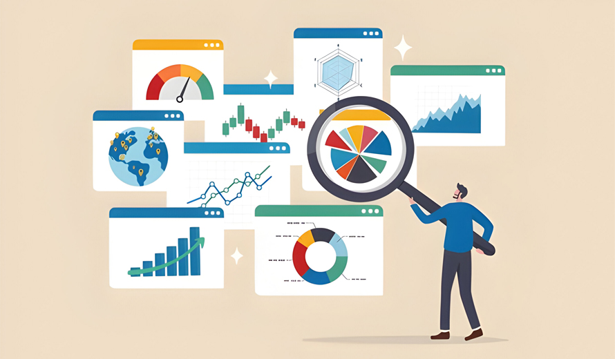
Utility data analytic solutions use GIS to analyze large volumes of spatial and non-spatial data, providing insights into network performance, customer demand, and operational risks. These solutions enable predictive analytics, helping utilities anticipate equipment failures, optimize resource allocation, and improve energy efficiency. By applying advanced GIS analytics, utilities can better understand patterns and trends, leading to smarter decision-making, cost savings, and improved service reliability
There are 3 ways Skylan solutions benefit utilities
Enhancement
Conversion and integration of records
Data improvement and data cleansing
Combining data
Analysis and Planning
Data preparation and gap analysis
Evaluation of asset condition
A data lifecycle roadmap
Maintenance
Processing work orders and logging them into the GIS
Maps with themes
Digital Maps
Summary of Solutions
Workflows that are integrated to manage big dataset volumes.
Supports numerous inputs, reference sources, and all industrial data formats.
Based on business standards, extremely adaptable solution.
Links that are driven by programming to provide greater precision and relative accuracy.
Transformation based on dynamic cells, as an alternative to traditional rubber sheeting
Complete audit trails and an integrated tools for high-quality reporting.